
Jam the satellites and most modern weapons go stupid. That is the whole premise of electronic warfare in 2026, and it is why every air force on earth is quietly panicking about how much of its inventory depends on a faint signal broadcast from 20,000 kilometres up.
So here is an interesting answer. Northrop Grumman and the Silicon Valley firm SandboxAQ say they have flown a jet-powered attack drone that navigated by reading the magnetic field of the planet underneath it. No satellites. Nothing transmitted, nothing received, nothing to jam.
The announcement landed on 9 September 2026. What makes it worth more than the usual press-release shrug is the platform they put it on: not a big, expensive, exquisitely equipped aircraft, but a cheap drone designed to be thrown away.
Quick Facts
Aircraft: Northrop Grumman Lumberjack, a Group 3 attritable one-way-attack UAS
Who builds what: ESAero Inc., a wholly owned subsidiary of AV Inc., supplies the air vehicle and its systems integration; Northrop Grumman is the mission systems integrator and munitions provider
Navigation system: SandboxAQ AQNav, a magnetic navigation (MagNav) system using quantum sensors
The claim: the world’s first reported test of a MagNav system on an attritable platform, and the first reported pairing of MagNav with visual navigation on a one-way-attack platform
Announced: 9 September 2026, Palo Alto, California. The flight itself is described only as “recent” — no date, location or accuracy figures were released
Integration time: under an hour to install the software on the drone’s existing computers, according to SandboxAQ
Lumberjack performance (trade reporting): 100 to 250 knots, a strike radius of more than 200 miles, roughly two hours of loiter if range is traded away
Programme context: the Defense Innovation Unit’s Transition of Quantum Sensing (TQS) effort; AQNav was also in the 2025 NATO DIANA cohort
Navigating by the rocks underneath you
The Earth’s crust is magnetically lumpy. Different rocks, different depths and different mineral content all leave a signature, and that signature is fixed. Fly a sufficiently sensitive magnetometer over a patch of ground and you get a wiggly line. Compare that wiggly line to a pre-surveyed map of magnetic anomalies and you can work out where you are.
This is an old idea. What was never possible was doing it in real time, on a moving aircraft, because the aircraft itself is a rolling electromagnetic disaster: motors, actuators, current running through wiring looms, all of it swamping a signal measured in tiny fractions of the Earth’s field.
SandboxAQ’s pitch is that quantum magnetometers give you the sensitivity and machine learning gives you the filter. The system models the platform’s own magnetic noise and subtracts it, leaving the geology. Because nothing is transmitted and nothing is received, there is no signal for an adversary to drown out or fake. You cannot spoof a rock.
Why the cheap drone is the hard part
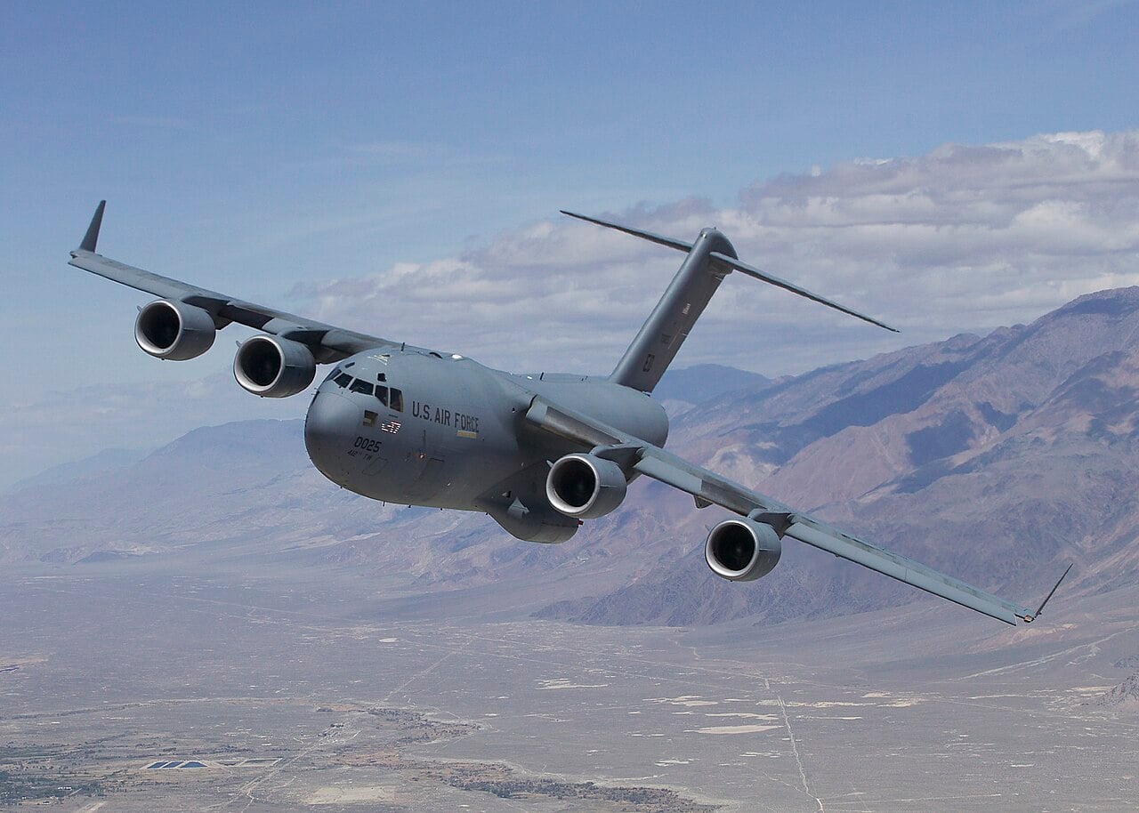
SandboxAQ has been flying this technology for years. It says it has worked with the United States Air Force for more than three years, including tests aboard C-17 Globemaster III and C-130J Super Hercules transports and three large-scale exercises, and that Airbus and Boeing have both flown it since 2023.
Those are large aircraft with power to spare, physical room to mount a sensor far away from the noisy bits, and a budget that tolerates bespoke hardware. An attritable drone has none of that. It is small, it is electrically cramped, and the entire commercial logic collapses if the navigation kit costs more than the airframe.
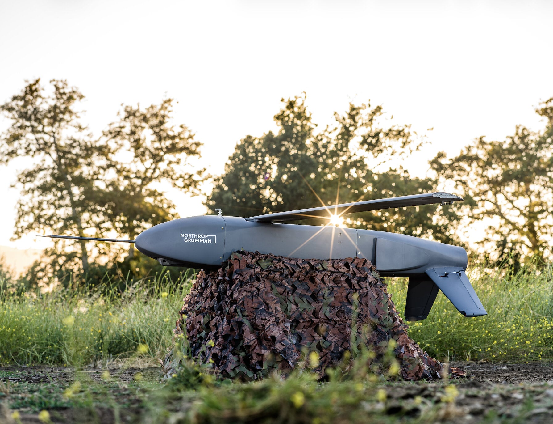
Lumberjack is exactly that sort of aircraft. Northrop Grumman unveiled it at the Modern Day Marine exposition in Washington, DC at the end of April 2025, describing a modular jet-powered munition that can be launched from the ground or from another aircraft, loiter, and then either strike itself or release submunitions such as the company’s six-pound Hatchet. A Northrop official quoted at the time put the unit cost somewhere between 75,000 and 100,000 dollars. The company says the whole aircraft went from clean sheet to first flight in under 14 months.
The quiet part: it is now just software
Buried under the flight-test headline is the announcement that probably matters more. Alongside the test, SandboxAQ launched a hardware-agnostic, software-only version of AQNav — one designed to run on the computers a platform already carries, using sensor data it already has, rather than requiring a dedicated processing box.
That changes the economics. A navigation capability that ships as a bespoke hardware kit gets fitted to a handful of high-value aircraft. One that ships as code can, in principle, be pushed across a fleet.
Read the claim carefully
Two things deserve a sceptical eye. The first is the wording. SandboxAQ does not claim a world first; it claims the world’s first reported test. That hedge is doing real work, because a great deal of alternative-navigation development happens behind classification barriers and nobody issues a press release about it.
The second is what was left out. The release gives no flight date, no location, no altitude, no duration and — most conspicuously — no accuracy figure. Navigation systems live and die on how many metres of error they accumulate per hour, and that number is absent. Until it appears, this is a demonstration that the thing works, not a measurement of how well.
The problem it is aimed at
The demand signal is not theoretical. Interference-tracking data for 2026 suggests roughly 900 flights a day are affected by GPS jamming or spoofing somewhere in the world. Lithuanian authorities have reported hundreds of GNSS interference events a week, an order of magnitude above 2024 levels, and say the spoofing infrastructure in Kaliningrad has grown from a handful of antennas at the start of 2025 to several dozen.
Airliners cope, because they fall back on inertial reference systems and ground-based aids and because a pilot is sitting there. A small expendable drone three hundred kilometres into hostile airspace has no such luxury. It has an inertial unit that drifts, and whatever else you gave it before you launched.
That is the gap this is aimed at. Whether magnetic navigation fills it at the price point the cheap-mass doctrine demands is the question the next round of testing has to answer. For now, someone has flown the thing and said so out loud, which in this corner of defence technology is further than most get.
Northrop Grumman testing the Lumberjack strike drone.
Sources: SandboxAQ press release of 9 September 2026, Northrop Grumman, The War Zone, The Defense Post, Inside GNSS, Inside Unmanned Systems, aeroTELEGRAPH, Euronews, Foreign Policy, Defense News.



0 Comments