
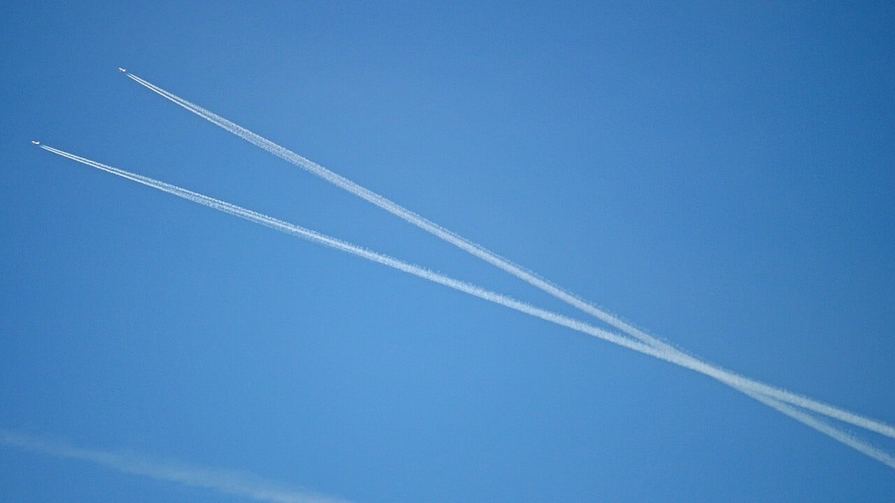
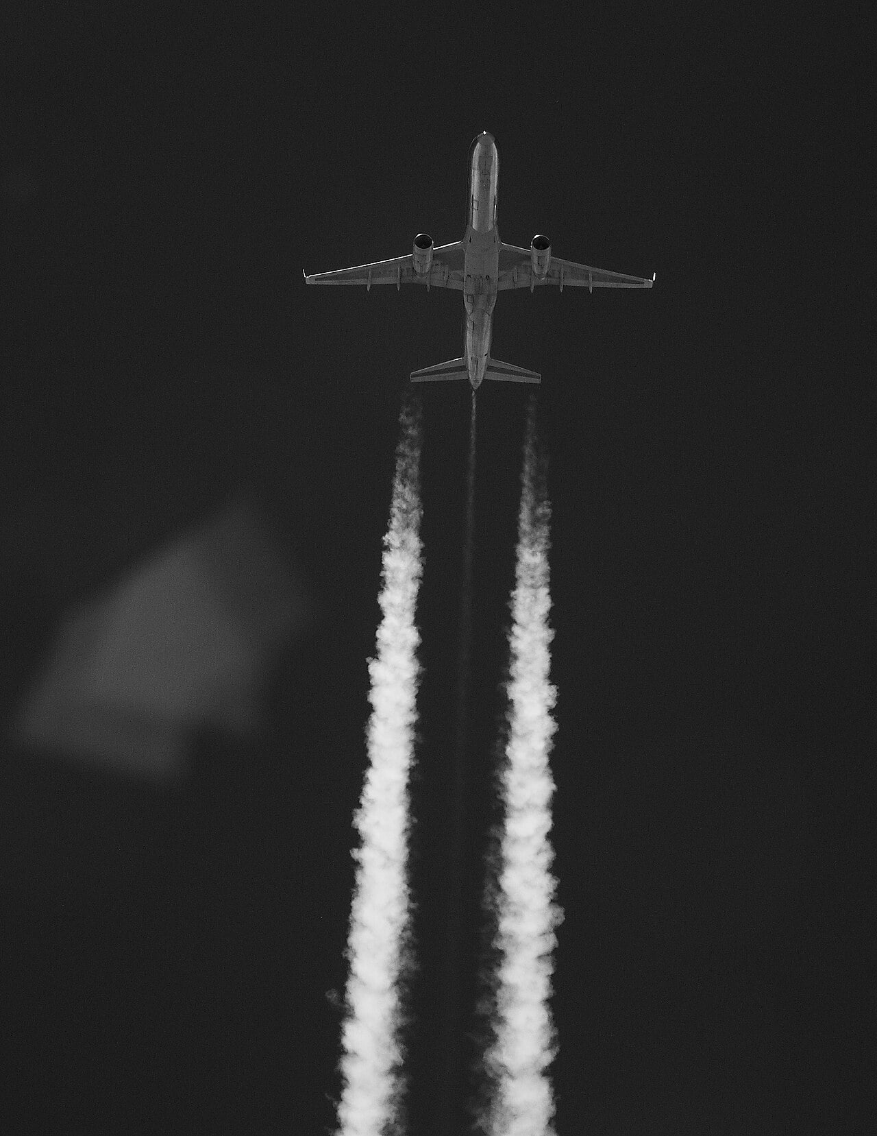
Somewhere over Bedfordshire on an October afternoon, an easyJet Airbus and a Jet2 Boeing slide past each other at 35,000 feet, their contrails crossing in a giant X. Their safety does not depend on spotting each other. It depends on a number both crews dialled into their altimeters on the climb: 1013.25.
That single setting is what turns the sky into an orderly stack of invisible floors called flight levels. Getting onto those floors, and off them again, happens at a boundary called the transition altitude. In the United States it sits at 18,000 feet everywhere. Cross the Atlantic and it can be as low as 3,000 feet, and it changes from one country, or even one airport, to the next.
Here is how flight levels work, why the altimeter setting matters so much, and why Europe, after more than a decade of discussion, still has no single number.
Informations clés
- Standard pressure: 1013.25 hPa = 29.92 inHg (International Standard Atmosphere)
- QNH: Local pressure setting; altimeter shows altitude above sea level
- Flight level: Pressure altitude in hundreds of feet on the standard setting; FL350 = 35,000 ft nominal
- US transition altitude: 18,000 ft nationwide; Class A airspace from 18,000 ft to FL600
- UK transition altitudes: Between 3,000 and 6,000 ft; a harmonised 18,000 ft was consulted on but not adopted
- Semicircular rule: Track 000-179: odd levels; 180-359: even levels
- RVSM: 1,000 ft separation FL290-FL410; Europe from 24 January 2002, North America January 2005
An altimeter is a barometer
A pressure altimeter does not measure height at all. It measures air pressure and converts it into feet using the International Standard Atmosphere, in which sea-level pressure is 1013.25 hectopascals, or 29.92 inches of mercury. Air pressure falls as you climb, so lower pressure reads as higher altitude.
The catch is that real sea-level pressure moves around with the weather. To read true altitude above sea level, a pilot has to tell the altimeter today’s local pressure. That setting is called QNH, one of the old radio Q-codes, and it is broadcast by airports and controllers. Set QNH and, on the runway, the altimeter shows the airfield’s elevation.
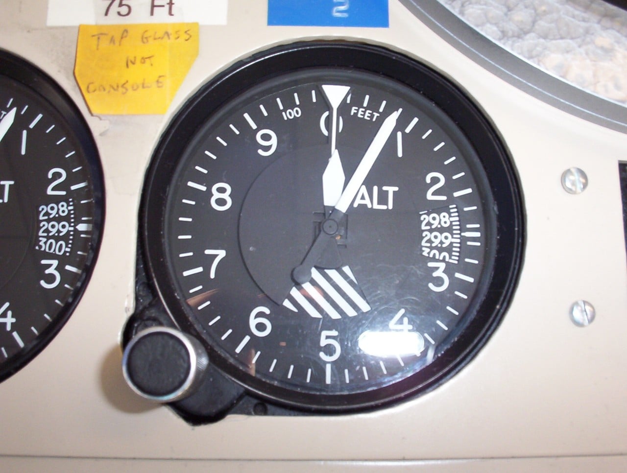
That little window on the right of the dial is where the setting goes. Get it wrong and the error is large: the FAA’s rule of thumb is that one inch of mercury equals 1,000 feet, which works out at roughly 30 feet for every hectopascal.
Why everyone switches to 1013
Near the ground, true altitude is what matters, because mountains and masts do not move with the weather. But at cruise, what matters most is not where you are relative to the ground. It is where you are relative to the other aeroplanes.
So above a certain height, every pilot stops using local pressure and sets the same standard value, 1013.25 hPa or 29.92 inHg. The altimeter then shows pressure altitude, and it is expressed in hundreds of feet as a flight level. FL350 is a nominal 35,000 feet on the standard setting. Pilots sometimes call this QNE.
Here is the “aha”. A flight level is not a fixed height at all. It is a surface of constant pressure that rises and sinks with the weather. FL350 sits at a different true height over a high-pressure system than over a low. It does not matter, because every aircraft on the standard setting rides the same surface, so the separation between them stays intact.
Captain Joe explains how a barometric altimeter works and why its setting changes during a flight.
Transition altitude, layer and level
The transition altitude is the height at which climbing aircraft switch from QNH to standard. Descending aircraft switch back at the transition level, the lowest usable flight level above it. The slice of sky between the two is the transition layer, and aircraft are not supposed to cruise inside it.
The transition level is not fixed, because it depends on the day’s pressure. When QNH is low, a given flight level sits physically lower, so the transition level has to move up to keep a safe gap above traffic flying on QNH at the transition altitude. Controllers publish it alongside the weather.
Errors here cause real incidents. SKYbrary’s accident files include approaches flown hundreds of feet low because the wrong pressure was set. That is why crews use routines and mnemonics such as COAL when climbing through the transition, with the A standing for altimeters set to standard, and why ground radar converts every transponder’s standard-pressure altitude report so controllers can spot a mis-set altimeter.
Why America picked 18,000 feet
In the United States, the transition altitude is 18,000 feet across the country. It is also the floor of Class A airspace, which runs from 18,000 feet up to FL600 and where every flight must operate under instrument flight rules. Below 18,000 feet, pilots set a reported local altimeter setting from a station along their route.
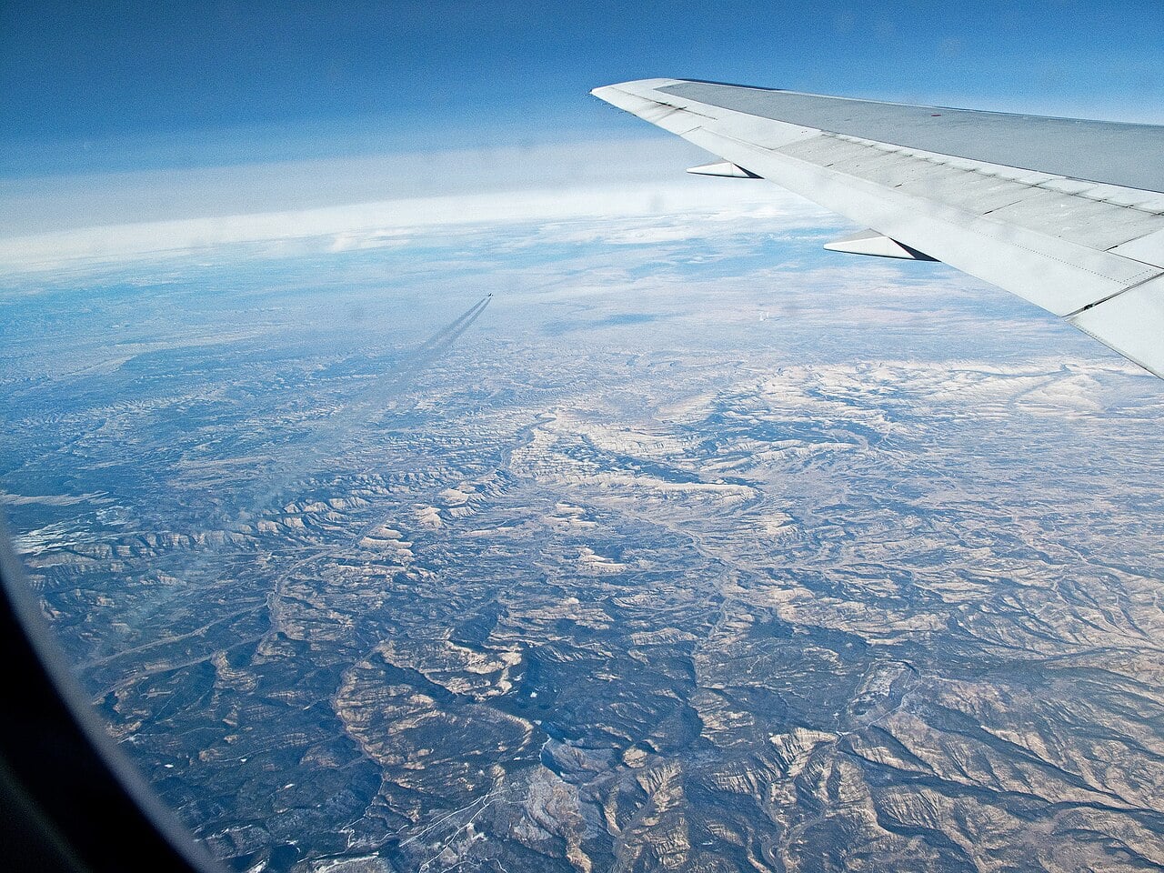
That height sits comfortably above the tallest peak in the lower 48 states, California’s Mount Whitney at 14,505 feet. One number for a whole continent means a pilot flying from Seattle to Miami changes the setting at exactly the same point every time. Canada uses the same figure in its southern domestic airspace.
Europe’s patchwork
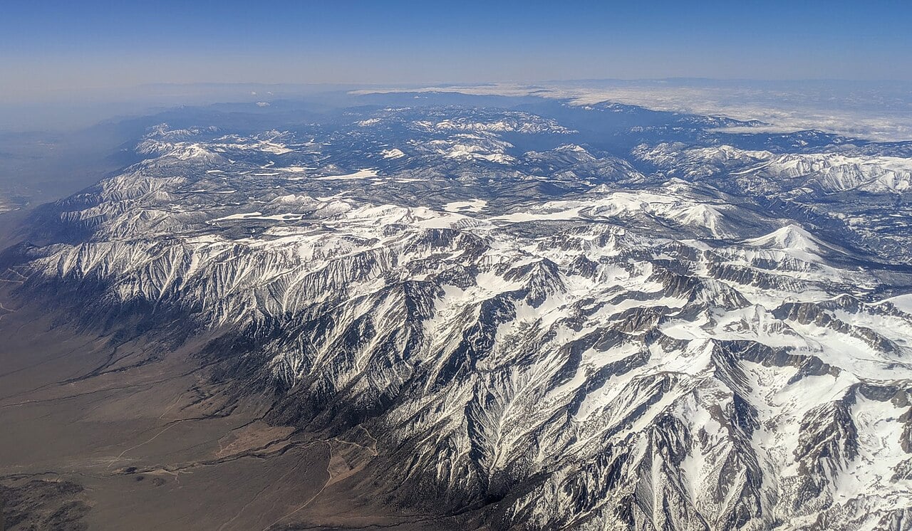
In most other countries the transition altitude varies, and in Europe each state sets its own. The United Kingdom alone has three different values, with transition altitudes between 3,000 and 6,000 feet: 6,000 feet in the London area and 5,000 feet around Manchester. The UK Civil Aviation Authority says those values were set at a time when aircraft performance was very different from today’s.
A low transition altitude creates friction. Climbs and descents in a busy terminal area cross it constantly, and levels next to it are lost as buffers. The UK consulted in 2012 on moving to 18,000 feet, and a second, joint consultation with Ireland on the detailed concept was reported in 2016. The goal was smoother continuous climbs and descents.
Europe as a whole looked at it too. The European Union Aviation Safety Agency formed a Harmonised European Transition Altitude group to decide whether to legislate for one common value. It concluded there should be no regulatory intervention, only guidance for states that want to change. The common European transition altitude remains an idea, not a rule.
Odd east, even west
Once on flight levels, aircraft are sorted by direction under the semicircular rule. On a magnetic track from 000 to 179 degrees, roughly eastbound, IFR flights fly odd thousands: FL250, FL270, FL290. Westbound, from 180 to 359 degrees, they fly even thousands: FL260, FL280. Some countries whose main airways run north to south, such as Italy, France and Portugal, split the levels north-south instead.
The result is that two aircraft head-on on the same airway are always at least 1,000 feet apart vertically. Same-direction traffic on the same level is separated by distance or time.
The UK Civil Aviation Authority on the risk of incorrect altimeter settings.
RVSM: six new floors
For decades, aircraft above FL290 needed 2,000 feet between them instead of 1,000, because altimeters become less accurate as the air thins. ICAO began studying a reduction in 1982. The answer was Reduced Vertical Separation Minimum, or RVSM: 1,000 feet between approved aircraft from FL290 to FL410 inclusive.
It went live in Europe at 00:01 UTC on 24 January 2002, simultaneously across 41 states, after earlier introduction over the North Atlantic. North America followed in January 2005. EUROCONTROL says the six additional flight levels between 29,000 and 41,000 feet raised European airspace capacity by up to 20%.
The privilege is earned. RVSM aircraft need two independent altitude measurement systems, an altitude alerting system, an autopilot that holds altitude, and an altitude-reporting transponder, and operators need specific approval. Non-approved aircraft must be given 2,000 feet. Above FL410, the old 4,000-foot spacing between same-direction aircraft returns: eastbound FL410, FL450, FL490; westbound FL430, FL470, FL510.
So the next time a contrail slides past 1,000 feet above your window, it is not luck. It is two altimeters set to 1013.25, a rule about odd and even numbers, and a boundary that sits at 18,000 feet in America and wherever local history put it in Europe.
EUROCONTROL’s film on Reduced Vertical Separation Minima.
Sources: FAA Aeronautical Information Manual (3-2-2, 7-2), UK Civil Aviation Authority (CAP 1417; TA consultation FAQ), EUROCONTROL, SKYbrary (RVSM; Altimeter Setting Procedures), Wikipedia (Flight level; Altimeter setting; Reduced vertical separation minima; Mount Whitney)

0 Comments