
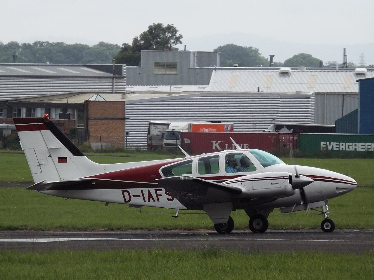
They had gone to a ballgame. A father and his adult son, both private pilots, flew into St. Louis to watch baseball, then climbed back into their Beechcraft Baron for the two-hour hop home to Arkansas. It was late, it was dark, and thunderstorms were scattered across the route. Eighteen minutes after takeoff, the flight was over.
On August 11, 2026, the AOPA Air Safety Institute released an early analysis of that July crash near Waterloo, Illinois — not to assign blame, but because, as the Institute puts it, every one of these accidents holds a lesson for the pilots still flying. This one is about a trap that has caught experienced aviators before: trusting the weather picture on the cockpit screen a little too much.
DATOS RÁPIDOS
| Aeronave | 1978 Beechcraft Baron 55 (N202DK) |
| Cuando | Night of July 9, 2026 |
| Ruta | St. Louis Regional (KALN) toward Siloam Springs, AR (KSLG) |
| A bordo | A father and adult son; both private pilots, no instrument rating |
| Clima | Numerous thunderstorms and convective SIGMETs |
| Key factor cited | Datalink weather latency |
| Estado | NTSB investigating; AOPA ASI early analysis released Aug 11 |
Eighteen minutes
The aircraft was N202DK, a 1978 Beechcraft Baron 55 — a capable twin-engine piston aircraft. Its pilot, Jimmy Don Lewis, and his son Brayden Ty Lewis, were both certificated private pilots, but neither held an instrument rating. That matters: without it, they were legally and practically limited to flying in visual conditions, clear of cloud.
They departed St. Louis Regional Airport around 10:30 p.m., bound for Siloam Springs, roughly 270 nautical miles to the southwest. At 10:48 p.m. the flight ended just south of St. Louis Lambert’s airspace. According to the Air Safety Institute, the track shows a spiral descent from 5,600 feet, an apparent recovery, and then a final descent — the classic signature of a pilot losing control in cloud or turbulence.
The screen that lies — a little
Here is the heart of the lesson. Modern cockpits can display live-looking weather radar beamed up through ADS-B or satellite. It is one of the great safety advances of the last two decades. It is also, quietly, one of the most misunderstood tools in aviation.
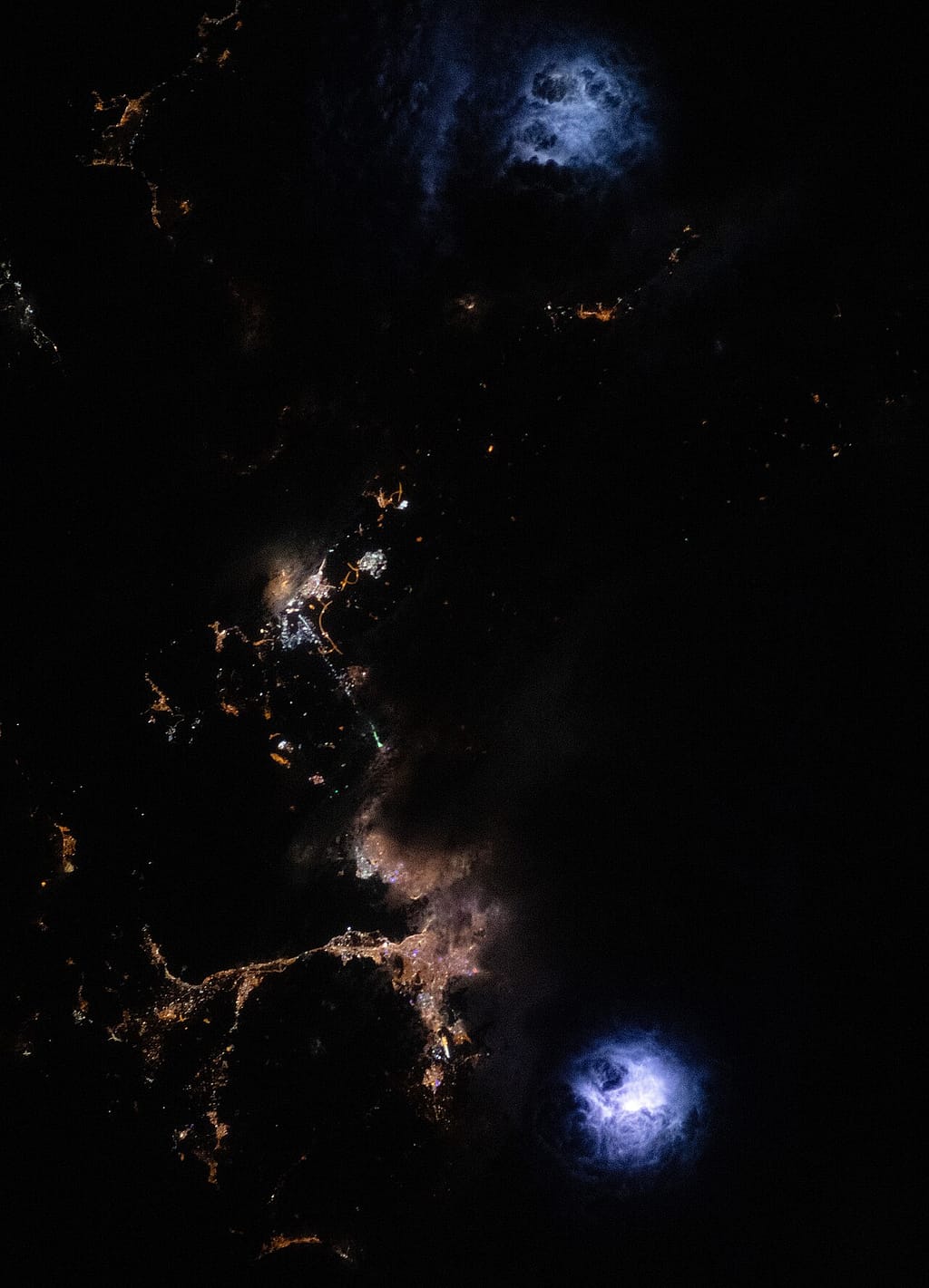
That radar picture is not live. The image on the screen can lag the real sky by three to five minutes, and in some cases by as much as twenty. A storm cell moves and grows in that window. A gap that looks like a safe corridor on the display may already be a wall of rain, hail and violent updrafts by the time the aircraft arrives. Pilots who “thread the needle” using datalink radar are aiming at where the storm era, not where it is.
The Air Safety Institute and the FAA are blunt about the fix: stay at least 20 nautical miles clear of thunderstorm cells, never try to squeeze between them, and never treat datalink weather as real-time. At night, when the towering clouds are invisible until lightning reveals them, those margins matter even more.
Why the lesson travels
It is tempting to file this under “low-time pilots, bad decision.” The Institute pushes back on that. The same trap — mistaking a delayed radar image for the real sky — has bitten instrument-rated, professional pilots too. The technology is superb for strategic decisions made half an hour out. It is dangerous the moment it is used for tactical, last-minute dodging between cells.
The AOPA Air Safety Institute’s full early analysis walks through the flight track and the weather picture minute by minute:
The NTSB’s formal investigation will take a year or more, and it will look at qualifications, equipment and weather. But the takeaway for every pilot reading this is already clear tonight: the storm on your screen is a memory, not a mirror. Give the real one room.
Sources: AOPA Air Safety Institute early-analysis video (11 Aug 2026); General Aviation News; Midwest Flyer; Aviation Safety Network.
This piece discusses a fatal accident for flight-safety education. If it raises anything difficult for you, it’s okay to step away.
0 Comentarios