
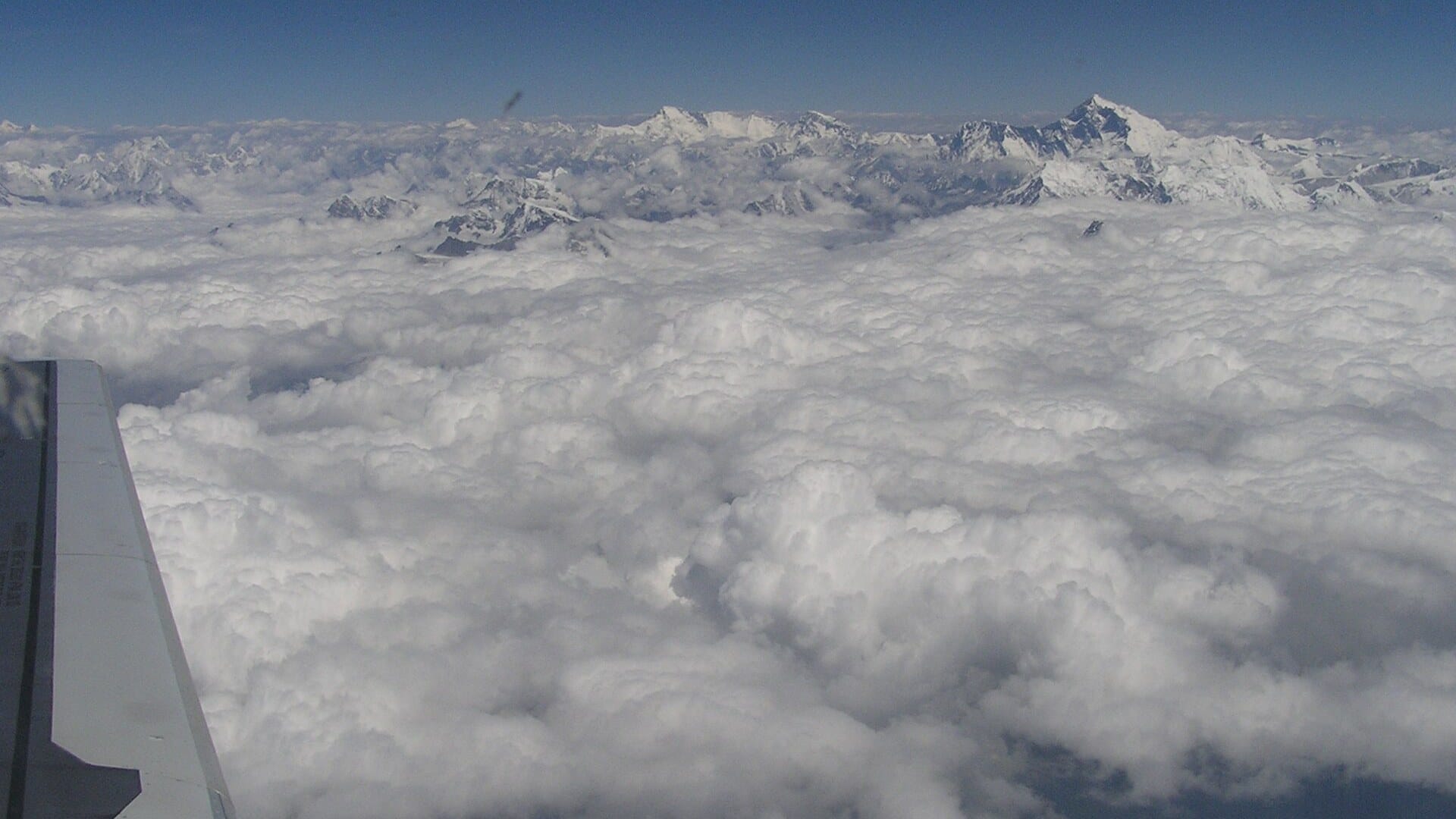
Pull up a live flight tracker and look at the airways between Europe and East Asia. Hundreds of yellow aircraft icons stream across Siberia, Central Asia, India. And in the middle of it all sits a hole the size of Western Europe with almost nothing in it. That hole is the Tibetan Plateau.
It is not a no-fly zone. There is no regulation with “Tibet” stamped on it in red. Airlines avoid the place for a colder reason: if anything goes wrong up there, the standard emergency playbook — the one that works everywhere else on the planet — simply does not function.
Here is why the roof of the world is aviation’s emptiest sky.
Quick Facts: Flying Over Tibet
| The obstacle | Tibetan Plateau — average elevation roughly 4,500 m (14,800 ft), peaks far higher |
| The rule | After a cabin decompression, descend to 10,000 ft (3,000 m) — impossible over the plateau |
| Oxygen | Standard passenger masks supply oxygen for roughly 12–22 minutes |
| Diversions | Very few airports; Daocheng Yading is the world’s highest civil airport at 4,411 m (14,472 ft) |
| The exception | Airway L888 — the “Silk Road” route — open only to specially equipped, approved operators |
| Bonus hazard | Jet-stream turbulence and mountain waves off the Himalaya |
The 10,000-foot problem
When a cabin loses pressure, the drill is brutally simple: masks drop, pilots push the nose down, and the aircraft dives to 10,000 feet — the altitude where humans can breathe unaided. The chemical oxygen generators feeding your yellow mask are not a long-term solution. They typically burn for somewhere between 12 and 22 minutes, depending on the aircraft.
That is plenty — anywhere except Tibet. The plateau’s valley floors sit at around 14,800 feet. Over large areas, the minimum safe altitude that clears the terrain exceeds 20,000 feet for hours of flying time. You cannot descend to breathable air, because the ground itself is above it.
Engine failure creates the same trap in slow motion. Lose one engine on a twin-jet and the remaining engine cannot hold cruise altitude; the aircraft “drifts down” to somewhere in the 20,000–25,000 ft band. Over the ocean, fine. Over terrain that reaches 15,000, 20,000, even 29,000 feet? You have just turned a manageable failure into a terrain problem.
Nowhere to land
Every long-haul route is planned around the question: where do we go if it all goes wrong? Across most of the planet the answer is a string of diversion airports an hour or less away. Across the Tibetan Plateau, the answer is a shrug. Airports are rare, far apart, and themselves perched at extreme elevations.
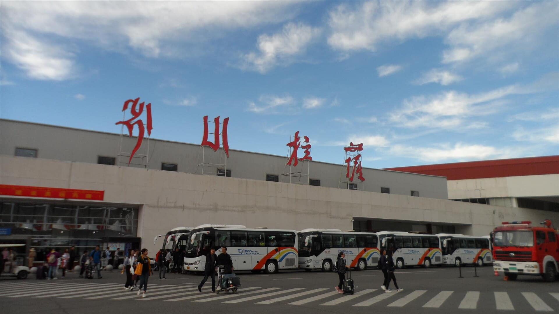
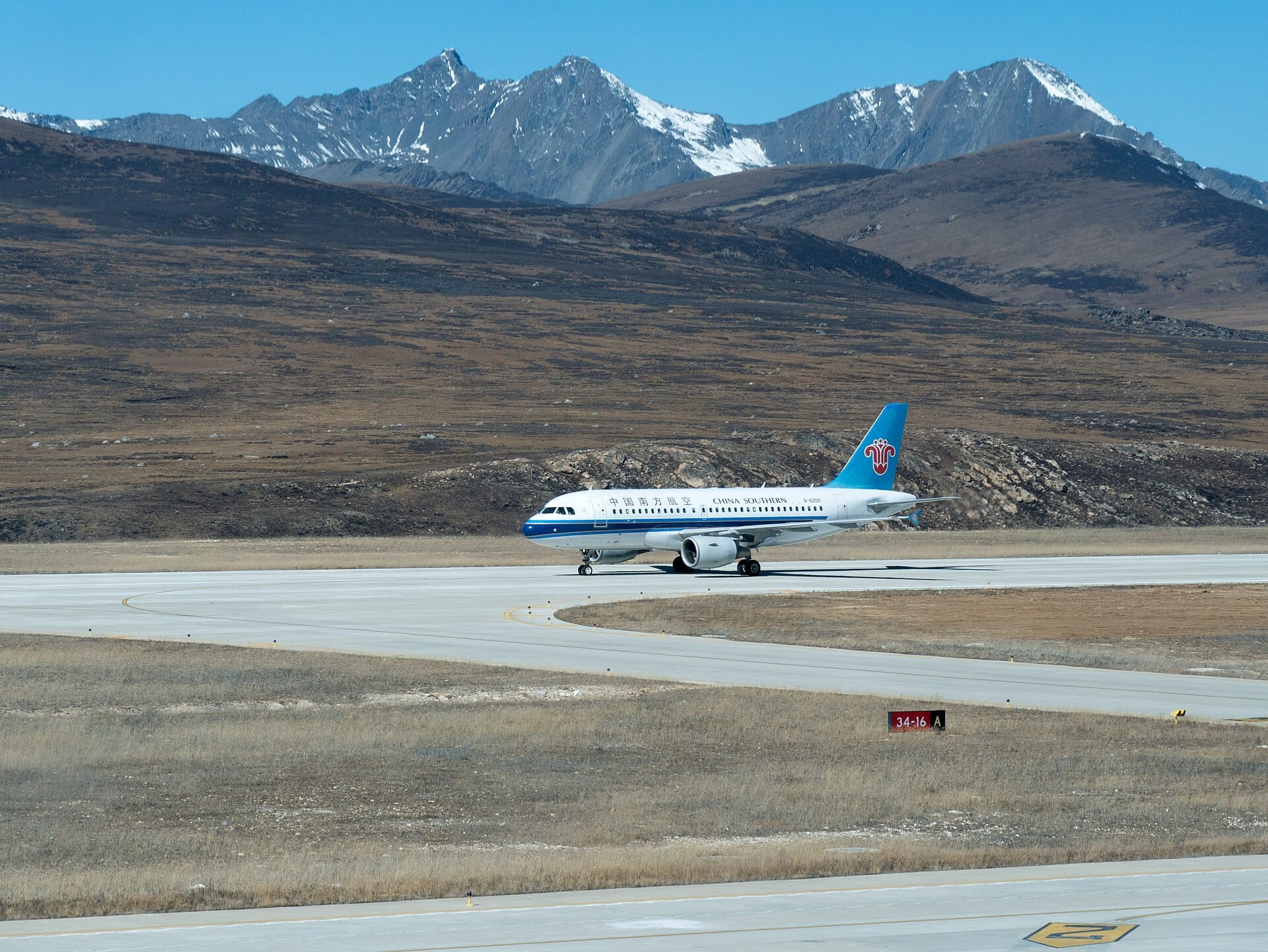
Landing at these strips is a specialist discipline in itself. Thin air means higher true approach speeds, longer landing rolls, anaemic climb performance if you have to go around, and engines that produce noticeably less thrust. Chinese carriers that serve Lhasa and the region’s other high airfields do it with specially certified crews and aircraft — it is not something a diverting long-haul flight improvises at 3 a.m.
The most extreme example: Daocheng Yading, on the plateau’s eastern edge, the highest civil airport on Earth at 4,411 metres. Its runway sits higher than the summit of the Eiger.
The roughest air on Earth
Then there is the ride. The subtropical jet stream runs close to the Himalaya, and when winds of 100–200 km/h slam into a 2,500-kilometre wall of rock, the atmosphere downstream turns into a washing machine. Mountain waves and rotors propagate far above the peaks, and the clear-air turbulence they spawn is invisible to weather radar.
Crews flying near the plateau also keep one eye on fuel temperature: the air up there is exceptionally cold, and on long segments jet fuel creeping toward its freezing point is a real operational consideration, not a textbook footnote.
The exception: the Silk Road airway
None of this means the plateau is untouched. China maintains four high-altitude airways across the region — L888, Y1, Y2 and Y3 — and L888 has a nickname straight out of a history book: the Silk Road airway, because it shadows the ancient trade corridor between East and West.
Flying it is a privilege you earn. Chinese authorities require ADS surveillance, controller–pilot data link and satellite voice communication, and every operator must file aircraft-specific “escape route” procedures — pre-planned descent corridors leading to alternates like Chengdu, Kunming, Urumqi and Kashgar. Aircraft carry extra oxygen far beyond the standard fit, sized so the supply lasts until the jet can reach breathable air. Qantas studied the route for its 747s as far back as 1997; approved operators today include a handful of major airlines — Cathay Pacific among them — and, since 2024, DHL’s European Air Transport, whose A330s save around 20 minutes and roughly two tonnes of fuel per flight by taking the shortcut.
Ask the people who actually fly it, and you get a healthy mix of awe and respect.
For the airlines, the maths is compelling — every minute not flown around the plateau is fuel and emissions saved.
So the next time your Hong Kong–London flight seems to take a strange dog-leg north over Urumqi or south over India, remember: the aircraft is not lost. It is giving a very wide berth to the one place on Earth where “descend and land” stops being an option.
Sources: OPSGROUP (International Ops), DHL / European Air Transport Leipzig, AIP China (CAAC), Flight Global, Interesting Engineering
Preguntas relacionadas
Why don't airliners fly over Tibet?
Airliners avoid the Tibetan Plateau because it is not a regulatory no-fly zone but an emergency trap. The plateau's average elevation of about 4,500 m (14,800 ft), with far higher peaks, means the standard emergency playbook used everywhere else, descending to breathable air, simply does not work there. The result is a hole the size of Western Europe in the world's flight paths.
What happens if a plane decompresses over Tibet?
If a cabin decompresses, the standard procedure is to descend rapidly to about 10,000 ft (3,000 m), where the air is breathable. Over the Tibetan Plateau that is impossible, because the ground itself sits above that altitude, with terrain reaching 15,000, 20,000 and even 29,000 feet. The safe descent has nowhere to go.
How long do passenger oxygen masks last?
The drop-down oxygen masks in an airliner cabin are designed only to sustain passengers for a limited time, long enough for the crew to descend to a breathable altitude around 10,000 feet. They are not meant to keep a cabin supplied for the hours it would take to cross high terrain, which is precisely why routes avoid the Tibetan Plateau. See also why cabins are pressurised to about 6,000 feet.
Why must aircraft descend to 10,000 feet after a decompression?
Above roughly 10,000 feet the air is too thin to breathe safely for long, so after a decompression crews descend to about that altitude where passengers no longer need supplemental oxygen. Explosive decompression events, such as the Aloha Airlines 243 accident, show why a rapid descent to breathable air is the core survival response.
Is Tibet a no-fly zone?
No. There is no regulation designating Tibet as a no-fly zone. Airlines avoid the Tibetan Plateau voluntarily for safety reasons: the extreme terrain makes standard emergency responses to decompression or engine failure unworkable, and usable diversion airports are scarce. It is avoidance by choice, not by law.
What happens if a twin-engine jet loses an engine over high terrain?
A twinjet that loses one engine cannot hold cruise altitude on the remaining engine and drifts down into roughly the 20,000-25,000 ft band. Over open ocean that is manageable, but over the Tibetan Plateau, where peaks reach 15,000 to 29,000 feet, a routine failure becomes a terrain problem with no safe altitude to level off at.
How high is the Tibetan Plateau?
The Tibetan Plateau averages roughly 4,500 m (about 14,800 ft) in elevation, with individual peaks rising far higher, up to nearly 29,000 feet. Because the minimum altitude needed to clear the terrain can exceed 20,000 feet for hours of flying, the plateau denies aircraft the low, breathable altitude they would need after an emergency.
Why do diversion airports matter for flight planning?
Every long-haul route is planned around where a crew can divert if something goes wrong, ideally an airport within an hour or so. Across most of the planet such alternates form a dependable string. Across the Tibetan Plateau they are rare, far apart and often at high elevation themselves, removing the safety net that makes overflying most regions acceptable.
Publicaciones relacionadas

0 Comentarios